

")
Current Snapshot
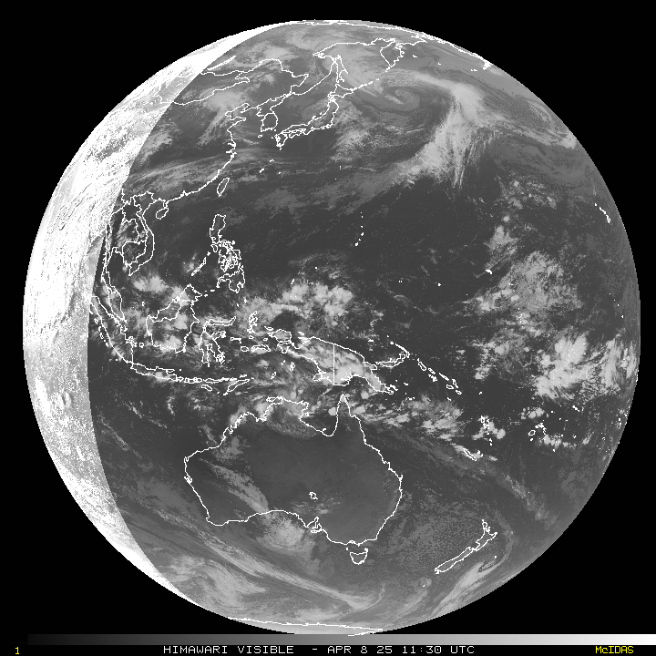
For all the latest updates visit: DisasterAWARE
11111
By PDC’s Senior Weather
Specialist Glenn James

The Pacific Disaster Center’s (PDC Global) Tuesday, April 8, 2025, Tropical Cyclone Activity Report…for the Pacific Ocean, the Indian Ocean, and adjacent Seas
Current Tropical Cyclones:
There are no tropical cyclones
Northeast Pacific Ocean: There are no Tropical Cyclones
The last regularly scheduled Tropical Cyclone Activity Report of the 2024 eastern North Pacific Hurricane Season has been issued. Routine issuance of this section of the PDC product will resume on May 15, 2025. During the off-season, Special Tropical Weather Outlooks will be issued as conditions warrant by the NHC.
Central Pacific Ocean: There are no Tropical Cyclones
The 2024 central North Pacific hurricane season has ended. As such, the final routine Tropical Cyclone Activity Report for the 2024 season has been issued. Routine issuance of this section of the PDC product will resume on June 1, 2025. During the off-season, Special Tropical Weather Outlooks will be issued as conditions warrant by the CPHC.
Western Pacific, Indian Ocean, and adjacent Seas: There are no Tropical Cyclones
Southwest Pacific Ocean
>>> There’s an area of disturbed weather that is being referred to as Invest 96P, which is located approximately 320 NM northeast of Darwin, Australia
Animated enhanced infrared satellite imagery (eir) and a 082050z ssmis f17 91ghz depict a broad and disorganized low-level circulation with flaring convection dislocated to the south.
Environmental analysis indicates that 96P is in a marginally favorable environment for development with moderate (10-15 knot) vertical wind shear, weak upper level radial outflow, and warm sea surface temperatures.
Global ensemble and deterministic model guidance is in relatively good agreement with a southwestward track and gradual intensification over the next 24 hours.
Maximum sustained surface winds are estimated at 20 to 25 knots.
The potential for the development of a significant tropical cyclone within the next 24 hours is low.
South Indian Ocean
>>> There’s an area of disturbed weather that is being referred to as Invest 92B, which is located approximately 306 NM east of Chennai, India
Animated enhanced infrared satellite imagery and a himawari-9 ir image depict a broad low-level circulation with flaring convection displaced to the east. The radius of maximum winds is analyzed to be approximately 100 NM, Similar to a monsoon depression in size.
Environmental analysis indicates that 92B is in a marginally unfavorable environment for development with strong (25-30 knots) vws offset by a strong upper level poleward outflow channel aloft and warm sea surface temperatures.
In terms of model guidance, the ecmwf ensemble continues to be the most aggressive moving forward, tracking northeastward and intensifying slowly before reaching coastal Myanmar. However, deterministic models show little to no development of the system. 92B is expected to track generally northward over the next 24 hours.
Maximum sustained surface winds are estimated at 23 to 28 knots.
The potential for the development of a significant tropical cyclone within the next 24 hours remains low.