Current Snapshot
For all the latest updates visit: DisasterAWARE
By PDC’s Senior Weather
Specialist Glenn James

The Pacific Disaster Center’s (PDC Global) Wednesday, November 13, 2024, Tropical Cyclone Activity Report for the Atlantic Ocean, the Caribbean Sea, and the Gulf of Mexico
CURRENT TROPICAL CYCLONES:
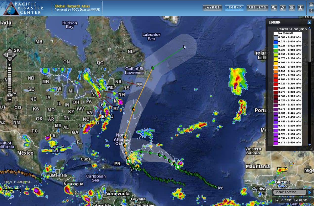
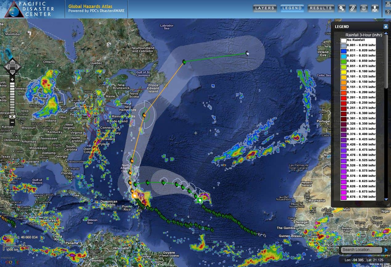
Potential Tropical Cyclone 19L, is located about 380 miles east of Isla Guanaja, Honduras
Potential Tropical Cyclone 19L
LIFE-THREATENING FLASH FLOODING EXPECTED IN HONDURAS LATER THIS WEEK AND OVER THE WEEKEND
The system is moving toward the west near 9 mph (15 km/h). A slow westward motion should continue for another day or two, taking the system across the western Caribbean Sea. The disturbance is expected to stall and meander near the north coast of Honduras late Friday and through the weekend.
Maximum sustained winds are near 30 mph (45 km/h) with higher gusts. The system is forecast to become a tropical storm on Thursday and continue strengthening, if it remains over water.
* Formation chance through 48 hours…high…90 percent
* Formation chance through 7 days…high…90 percent
HAZARDS AFFECTING LAND
RAINFALL: Through early next week, rainfall amounts of 10 to 20 inches with isolated storm totals around 30 inches area expected over northern Honduras. This rainfall will lead to widespread areas of life-threatening and potentially catastrophic flash flooding and mudslides, especially along and near the Sierra La Esperanza.
Elsewhere across the rest of Honduras, Belize, El Salvador, eastern Guatemala, and western Nicaragua, Potential Tropical Cyclone Nineteen is expected to produce 5 to 10 inches of rain with localized totals around 15 inches through early next week. This will result in areas of flash flooding, perhaps significant, along with the potential of mudslides.
WIND: Hurricane conditions are possible within the watch area by Friday. Tropical storm conditions are expected in the warning area and possible in the watch area beginning late Thursday.
STORM SURGE: Storm surge could raise water levels by as much as 1 to 3 feet above normal tide levels along the immediate coast near in areas of onshore winds along the northern coast of Honduras. Near the coast, the surge will be accompanied by large and destructive waves.

