

")
Tropical Cyclone Beryl – Atlantic
Tuesday, July 9, 2024
Current Snapshot
For all the latest updates visit: DisasterAWARE

rbtop-animated
1
2

02L_tracks_latest
By PDC’s Senior Weather
Specialist Glenn James

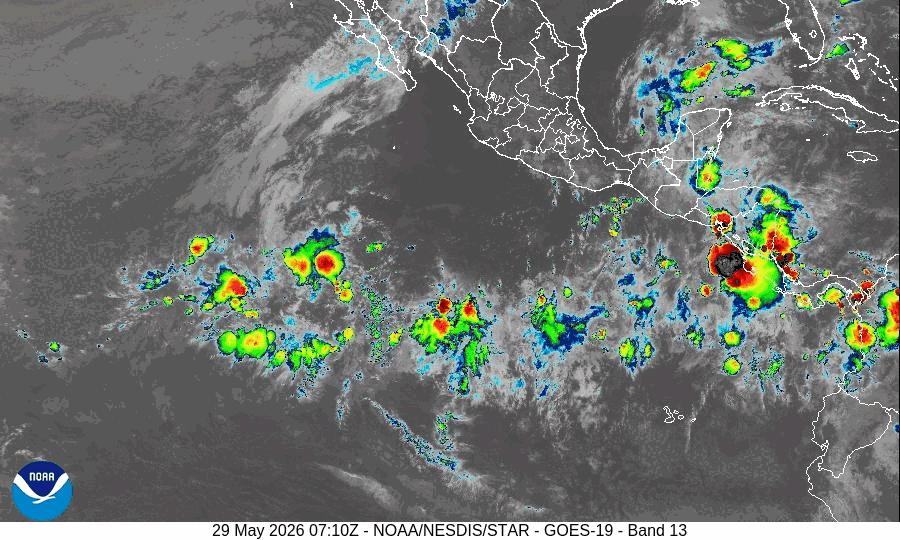
The Pacific Disaster Center’s (PDC Global) Tuesday, July 9, 2024, Tropical Cyclone Activity Report for the Atlantic Ocean, the Caribbean Sea, and the Gulf of Mexico
CURRENT TROPICAL CYCLONES:
Post-Tropical Cyclone Beryl…according to the NHC advisory number 46 is located about 195 miles west of Columbus, Ohio
Post-Tropical Cyclone Beryl
RISK OF FLASH FLOODING AND A FEW TORNADOES CONTINUES ALONG PATH OF POST-TROPICAL CYCLONE BERYL TONIGHT THROUGH WEDNESDAY
The post-tropical cyclone is moving toward the northeast near 20 mph (31 km/h) and little change is expected through Wednesday.
Maximum sustained winds are near 30 mph (45 km/h) with higher gusts.
Little change in strength is forecast during the next 48 hours.
HAZARDS AFFECTING LAND
RAINFALL: Heavy rainfall of 2 to 4 inches, with locally higher amounts, is expected across portions of the Lower Missouri and Mid Mississippi Valleys into the Great Lakes today into Wednesday and over northern New York and northern New England Wednesday into Wednesday night.
TORNADOES: A couple of tornadoes remain possible across parts of the Ohio Valley this evening and overnight.
