

")
Tropical Cyclone 02W (Mawar)
Tuesday, May 23, 2023
Current Snapshot
For all the latest updates visit: DisasterAWARE
pdcepac
1
pdc

mawarclose

02W_231800sair

02W_tracks_latest
By PDC’s Senior Weather
Specialist Glenn James

Current Tropical Cyclones:
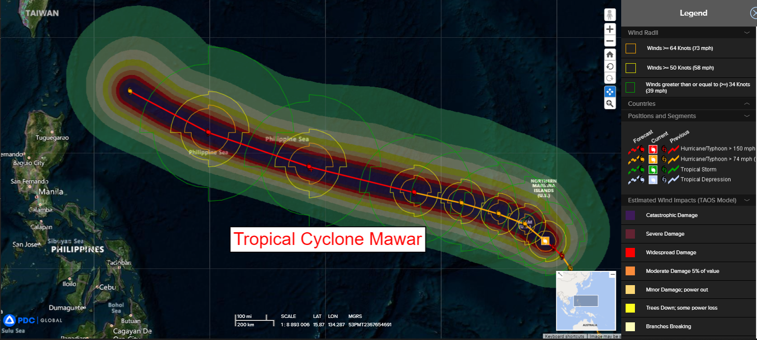
Typhoon 02W (Mawar)…is located approximately 55 NM southeast of Andersen AFB, Guam
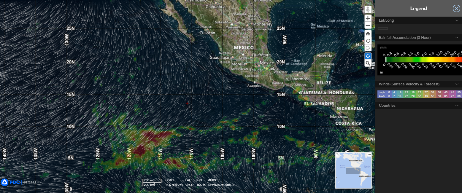
Northeast Pacific Ocean:
There are no tropical cyclones…nor any areas of disturbed weather under investigation by the National Hurricane Center (NHC)
Tropical cyclone formation is not expected during the next 7 days.
Western Pacific Ocean
Typhoon 02W (Mawar)
According to the JTWC Warning number 17, sustained winds were 120 knots, with gusts to 145 knots.
Animated enhanced infrared satellite imagery depicts a somewhat asymmetrical system that has a small (6 NM diameter) eye. In addition, bands of deep convection are noted in the western semicircle and fragmented bands of convection in the eastern semi-circle. These fragmented bands are the result of dry air from the south being introduced into the low level circulation center.
There were several hours without any usable microwave data, however a recent pass shows the inner eyewall has been broken down and a secondary eyewall is forming. Due to the onset of this eyewall replacement cycle, the initial intensity is lower than previously forecast.
Radar imagery from Andersen air force base shows the outer bands of the northwest quadrant over Guam, Rota, and the northern Mariana Islands, as well as the eye of the system in clear view as it approaches Guam from the southeast. Moreover, recent surface weather observations from Andersen AFB indicate consistent northeasterly wind flow with gusts in the 35-40 knot range over the past several hours.
TC Mawar is in a marginally favorable environment for further tropical development. These conditions are characterized by good equatorward and poleward outflow aloft, a pronounced vorticity signature, moderate (15-20 knot) vertical wind shear, and very warm sea surface temperatures.
